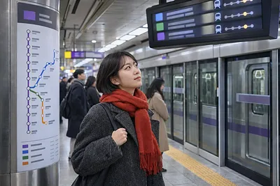
Subway & Bus Routes
A guide to the subways of the Seoul area, Busan, Daegu, Gwangju and Daejeon, and to city buses that work differently in each city, sorted by line and region. For every line we look at where it runs and where to change, the base fare and distance or express surcharges, transfer discounts and transit cards, and station facilities such as elevators and lockers, based on the operators' official notices.
For buses we cover systems sorted by colour and number such as trunk, branch, express and village buses, their fares, late-night buses, seat reservations and low-floor buses. Each guide states the date it was checked and points you back to the operator for numbers that change with route reforms and fare rises.
The "Subway & bus route finder" on this page shows first and last trains and the next departures on each line once you pick a station, and where to change and when you arrive once you pick two stations. The data comes from MOLIT TAGO, the Seoul Metropolitan Government and Seoul Metro; actual service can change with delays or suspensions, so please also check the operator's notices.
3D scene of a regional subway map with a train running along the chosen station and route
Subway timetables and routes
3D scene of a city bus running along its route past stop posts
Bus routes and arrivals
Advertisement
Sources: MOLIT TAGO, Seoul Metropolitan Government and Seoul Metro (KOGL Type 1), Seoul Open Data Plaza. The map is drawn from public station coordinates.