Checking FEMA Flood Zones by Address: Map Ratings and the NFIP Waiting Period
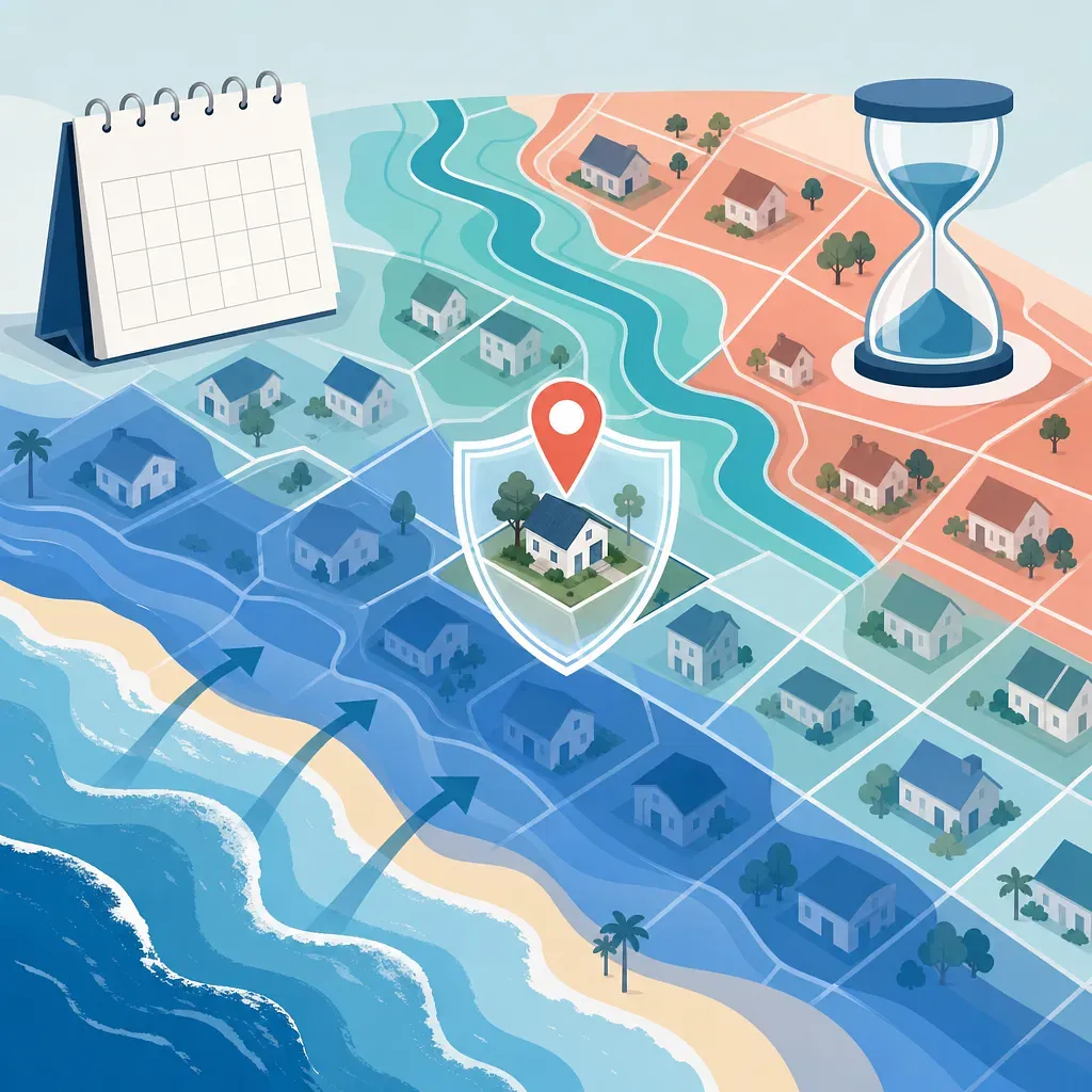
This explains how to check an address's flood zone and the map's effective date using FEMA's official maps. It also covers insurance requirements for high-risk A and V zones, the NFIP's standard 30-day waiting period and exceptions, and how to request a map change.
The FEMA Flood Map Service Center allows you to search current official flood maps by address, place name, or coordinates.
A and V series zones are generally Special Flood Hazard Areas, while an X zone does not mean there is no flood risk.
Flood insurance may be required when obtaining certain federally related loans secured by a building in a Special Flood Hazard Area.
New NFIP coverage generally begins after 30 days, but separate rules apply to mortgage transactions, newly designated high-risk zones, and certain post-wildfire floods.
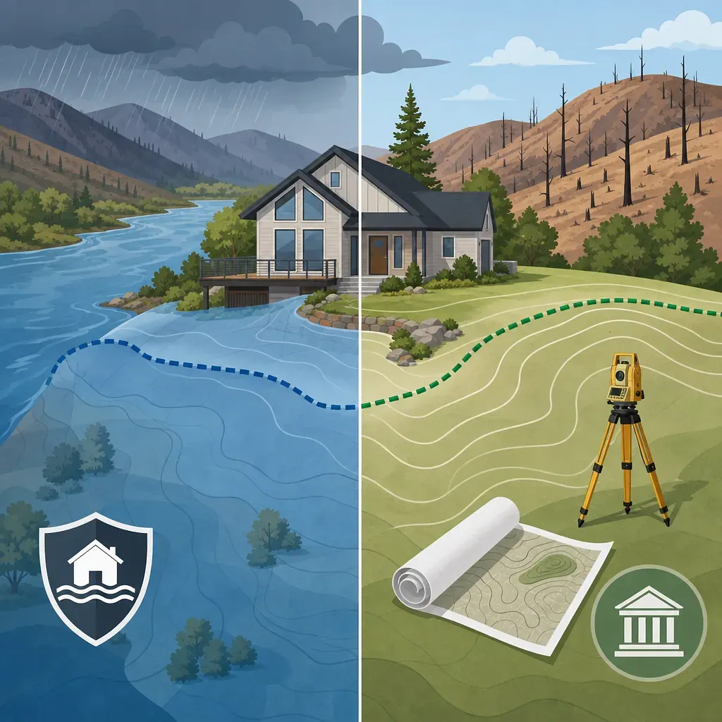
If you believe the mapped zone does not match the actual elevation or terrain, you can review FEMA's official map change procedures, such as a LOMA or LOMR.
During the U.S. hurricane season, flood risks increase not only from storm surge but also from torrential rainfall, river flooding, and drainage system backups. The official season for the Atlantic and Central Pacific runs from June 1 through November 30, while the Eastern Pacific season runs from May 15 through November 30. As of August 8, 2026, these seasons are underway, so homeowners and renters should recheck the FEMA map that applies to their current address.
FEMA flood maps do not provide insurance premium quotes themselves; they show the level of flood risk in a particular area and whether it is designated as a regulatory Special Flood Hazard Area. Maps may be revised, so the current zone should not be determined solely from old property documents or a seller’s explanation.
Checking an Address on FEMA’s Official Map
The FEMA Flood Map Service Center is the primary channel for accessing official U.S. flood risk information. Homeowners, renters, prospective buyers, and business operators can all search by address, and there is no separate enrollment period.
Information to Prepare
· Full address, including street number and name, city, state, and ZIP code
· Latitude and longitude or a nearby place name to use if the address cannot be found
· Exact location of the building and parcel boundaries
· Flood zone and map panel number listed in existing loan or insurance documents
· Additional materials, such as survey data and an elevation certificate, if challenging the zone designation
Search Steps
· Enter the full address or coordinates in the FEMA Flood Map Service Center.
· Zoom in and confirm that the point shown in the search results matches the building’s actual location.
· Record the Flood Zone, FIRM panel number, and effective date shown on the map.
· Determine whether it is the currently valid Effective map or Preliminary information that will apply in the future.
· If the property is near a boundary, do not rely only on the address search result; review the building footprint together with the zone boundary.
· If insurance requirements or premiums are important to a transaction, obtain final confirmation from the insurer, insurance agent, or lender.
The address marker may be the result of automated geocoding. If the marker is placed on an adjacent parcel or road, adjust the coordinates and read the map based on the building’s actual location.
How to Read FEMA Flood Zone Classifications
FEMA’s Special Flood Hazard Areas are designated based on flooding that has an annual probability of at least 1%. This is commonly called the “100-year floodplain,” but it does not mean flooding occurs only once every 100 years. It is simply a statistical expression indicating a 1% chance of occurrence each year; assuming that the risk is independent and constant from year to year, the probability of it occurring at least once over 30 years is approximately 26%.
Map designation | General meaning | What to check
A, AE, A1–A30 | Special Flood Hazard Areas, including river and inland flooding | Base flood elevations may be provided for AE and similar zones.
AH | Flood risk from shallow ponding | Check the expected depth and base flood elevation.
AO | Risk of shallow flooding flowing over sloping terrain | Check the expected depth shown on the map.
AR, A99 | High-risk designations related to the restoration or construction status of flood protection systems | Check the separate map explanation for the applicable zone.
V, VE, V1–V30 | High-risk coastal areas affected by waves and storm surge | Wave action and building standards are important in addition to flood elevation.
Shaded X | Generally moderate flood risk | Flood insurance may be considered even if the area is not subject to a federal mandate.
Unshaded X | Generally low risk on the map | This does not mean the chance of flooding is zero.
B, C | Designations used on older maps | On newer maps, these generally correspond to Zone X.
D | Areas where flood risk has not been analyzed or is uncertain | These should not be treated as low-risk areas.
Maps are the result of modeling floods of a particular magnitude. They may not fully reflect localized heavy rainfall, stormwater drainage problems, small waterways, erosion, future development, post-wildfire debris flows, or changing rainfall patterns. Residents of Zone X should also review actual flood history, topography, basement location, and information from local emergency management agencies.
Checking the Map’s Effective Date and Revision Status
The map currently in legal and administrative effect is important for insurance and lending decisions. Distinguish among the following items in the search results.
· Effective FIRM: The flood insurance rate map currently in effect.
· Preliminary map: A preliminary map undergoing review or adoption procedures. It is useful for understanding future risk, but its current legal status must be verified separately.
· FIRM panel number: The identification number of the map panel containing a particular area.
· Effective date: The date on which the map or panel took effect.
· Amendment documents such as LOMA and LOMR: Official amendment determinations issued for a specific property or area after the base map was published.
If you are approaching a purchase contract or insurance renewal, it is advisable not only to save the map search screen but also to retain the panel number, zone name, effective date, and related amendment documents. If a preliminary map has been released, check whether insurance requirements or building standards may change in the future.
Flood Insurance Requirements in High-Risk Areas
If a building in an A- or V-series Special Flood Hazard Area serves as collateral for a federally regulated or certain federally related mortgage loan, the lender may require flood insurance. Related requirements may also apply to loans associated with Fannie Mae or Freddie Mac.
However, the map classification alone does not determine whether every contract carries an insurance obligation.
· Lenders may require insurance more broadly than the minimum requirements under federal law.
· Even in Zone X, insurance may be required under the loan agreement or an institution’s risk management standards.
· Homeowners who own their homes with cash and have no federally related loan requirement may still purchase coverage voluntarily.
· NFIP insurance generally covers eligible buildings and contents in communities participating in the NFIP.
· Standard homeowners or renters insurance often does not cover floodwater entering from outside.
· Renters may consider flood insurance for personal property, such as household belongings, rather than for the building itself.
To determine the final requirement, check the lender’s official flood determination and the loan terms. FEMA map search results are useful for a preliminary review but do not replace the lender’s official determination.
NFIP 30-Day Waiting Period and Exceptions
NFIP flood insurance generally takes effect after a 30-day waiting period beginning on the date the premium is paid and the enrollment process is completed. As a rule, it is not possible to purchase coverage immediately after a hurricane or heavy rain approaches and receive immediate protection.
Situation | General application | Caution
Standard new NFIP policy | Usually a 30-day waiting period | Verify the actual effective date in the insurance documents.
Coverage connected to the origination, increase, extension, or renewal of a loan | The 30-day waiting period may not apply | The insurance must be directly connected to the loan transaction.
Newly included in a Special Flood Hazard Area due to a map revision | A 1-day waiting rule may generally apply if coverage is purchased within a specified period | Generally, check conditions such as purchasing coverage within 13 months after the map revision.
Additional coverage selected during the renewal billing process | A separate waiting period may not apply | Check the renewal method and when the coverage increase takes effect.
Certain post-wildfire floods | The 30-day waiting period may be waived under limited conditions | Detailed conditions apply, including whether the wildfire began on federal land, the containment date, and the timing of purchase.
The post-wildfire flood exception does not automatically apply to every wildfire-affected area. The cause of the flooding, the land where the wildfire began, the official containment date, and the timing of the insurance purchase are important, so obtain written confirmation of eligibility and the effective date from the insurer or an NFIP insurance agent.
Private flood insurance may differ from the NFIP in its waiting periods, coverage limits, and exclusions. If choosing a private policy to satisfy loan requirements, first confirm whether the lender will accept that policy.
When You Believe the Map Boundary Is Incorrect
Being included in a Special Flood Hazard Area on the map does not automatically mean that the map is wrong. However, if the natural ground elevation of a building or property is at or above the base flood elevation and you believe it was incorrectly included, you may review FEMA’s map change procedures.
· LOMA: A process for obtaining a determination, based on elevation data for natural ground that has not been raised with fill, that a specific property or building is outside the Special Flood Hazard Area.
· LOMR-F: A process for requesting a map change determination for land elevated by fill.
· LOMR: A process for revising the effective map to reflect changes in hydrologic or hydraulic conditions, waterways, flood protection systems, or development.
Depending on the case, an application may require an elevation certificate, boundary and elevation surveys, the legal description of the property, maps, engineering analyses, and community acknowledgment. Until FEMA issues a change determination, the currently effective map and the lender’s insurance requirements may continue to apply. Even if a LOMA is approved, the lender may still require insurance based on its own risk assessment or recommend voluntary coverage.
Hurricane Season Review Checklist
· Search the current address again in the FEMA Flood Map Service Center.
· Save the building’s actual location, zone code, panel number, and effective date.
· Check for a preliminary map and subsequent amendment documents such as LOMA and LOMR.
· Review the mortgage agreement for flood insurance requirements and the required coverage amount.
· Check the current insurance policy’s covered property, limits, deductible, and effective date.
· If new coverage is needed, account for the 30-day waiting period and prepare before a storm is forecast.
· Renters should confirm that the building owner’s insurance does not cover their personal belongings.
· Even in a mapped low-risk zone, separately assess site-specific risks such as past flooding, drainage channels, basements, and evidence of wildfire.
 Injoys