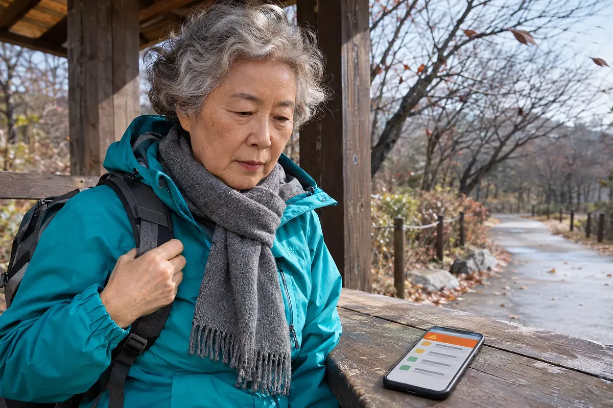
Check weather alerts in this site's alert banner and [Nationwide] list. Find your neighborhood's alert zone, then read the alert type, level, and effective time. An expected cancellation notice gives an estimated end time, so you must check the Korea Meteorological Administration's bulletin to confirm actual cancellation.
The figures and explanations of the system are based on Korea Meteorological Administration guidance accessed on November 11, 2026.
How to Check Weather Alerts on This Site
Start with the alert banner at the top of the weather panel on the left. This site displays alerts issued by the Korea Meteorological Administration. The alert banner appears only when there are alerts.
- Check whether an alert banner appears in the weather panel on the left.
- Open the [Nationwide] tab to check the weather alert list.
- Find the alert zones for both your current location and your destination.
- Read the alert type, level, and effective time.
- Check the Korea Meteorological Administration's latest bulletin for cancellations and changes.
You can also view typhoon tracks in the [Nationwide] tab. If you plan to travel, check alerts for your destination too. When deciding whether to evacuate or what action to take, prioritize local government guidance and disaster text alerts.
The original official notices are available on the Korea Meteorological Administration's Weather Nuri website. The menu is “Alerts and Forecasts > Alert Bulletins.” Check issuance and cancellation records in the Korea Meteorological Administration's Alert Bulletins.

Confirm that a weather alert has ended using the Korea Meteorological Administration’s latest cancellation notice, not just the expected end time.
Differences Between Advisories, Warnings, and Preliminary Alerts
Advisories and warnings indicate different levels of hazardous weather. Preliminary alerts provide advance notice that an alert may be issued. Weather updates explain changes, while impact forecasts help people prepare for potential damage.
| Category | Meaning | What to check |
|---|---|---|
| Advisory | Hazardous weather meeting the advisory criteria for that type is expected | Affected area and effective time |
| Warning | More severe hazardous weather meeting the warning criteria for that type is expected | Increased danger and response guidance |
| Severe warning | The highest level of heat wave alert | Whether a severe heat wave warning is in effect |
| Preliminary alert | Information about expected conditions before an alert is issued | Expected type, expected issue date and time, and expected area |
| Weather update | Information explaining sudden changes or detailed conditions | Weather changes and additional precautions |
| Impact forecast | A forecast of how weather may affect daily life, health, and other areas | Risk level and response guidance by sector |
Preliminary alerts may be provided several hours before an alert is issued. Do not assume an advisory is already in effect just because a preliminary alert has been issued. Check the latest announcement again as the expected time approaches.
Impact forecasts are provided for heat waves and cold waves. There are 4 risk levels: Attention, Caution, Warning, and Danger. “Warning” in an impact forecast and “warning” in a weather alert belong to different systems.
Regular forecasts describe future weather. Weather commentary explains the causes behind forecasts and the possibility of changes. The roles of each type of information are outlined in the Korea Meteorological Administration's Forecasting Services Guide.
Criteria for Issuing the 11 Types of Weather Alerts
There are 11 types of weather alerts, from strong winds to cold waves. Not every type has the same levels. Yellow dust has warnings only, while tropical nights have advisories only.
The tables below summarize the Korea Meteorological Administration's issuance criteria. Unless a condition is specifically marked as “observed,” it refers to expected weather conditions. Do not judge whether an alert is actually in effect from the figures alone; check the alert bulletin.
Heavy Snow, Cold Wave, Strong Wind, and Dry Weather Criteria
When checking winter weather alerts, consider wind and dryness as well as snowfall and temperature. Cold wave criteria apply from October through April of the following year. Strong wind and heavy snow alerts have separate criteria for mountainous areas.
| Type and condition | Advisory criteria | Warning criteria |
|---|---|---|
| Heavy snow | At least 5cm of snow accumulating over 24 hours | At least 20cm of snow accumulating over 24 hours, or at least 30cm in mountainous areas |
| Cold wave: sharp temperature drop | Morning minimum temperature falls by at least 10℃ from the previous day, is at most 3℃, and is at least 3℃ below normal | Morning minimum temperature falls by at least 15℃ from the previous day, is at most 3℃, and is at least 3℃ below normal |
| Cold wave: persistent cold | Morning minimum temperature of at most -12℃ persists for at least 2 days | Morning minimum temperature of at most -15℃ persists for at least 2 days |
| Strong wind: general land areas | Wind speed of at least 14m/s or gusts of at least 20m/s | Wind speed of at least 21m/s or gusts of at least 26m/s |
| Strong wind: mountainous areas | Wind speed of at least 17m/s or gusts of at least 25m/s | Wind speed of at least 24m/s or gusts of at least 30m/s |
| Dry weather | Effective humidity of at most 35% persists for at least 2 days | Effective humidity of at most 25% persists for at least 2 days |
For cold waves, either the sharp temperature drop condition or the persistent cold condition in the table is sufficient. All requirements within the sharp temperature drop condition must be met together. Do not substitute the current humidity reading for the effective humidity used in dry weather criteria.
Heavy Rain, High Seas, Storm Surge, Typhoon, and Yellow Dust Criteria
For rain and marine alerts, distinguish between accumulation periods and the weather phenomena covered. Heavy rain alerts use rainfall totals over specified periods. High seas alerts are based on wind speeds at sea or significant wave height.
| Type | Advisory criteria | Warning criteria |
|---|---|---|
| Heavy rain | At least 60mm in 3 hours or at least 110mm in 12 hours | At least 90mm in 3 hours or at least 180mm in 12 hours |
| High seas | Wind speed at sea of at least 14m/s persists for at least 3 hours, or significant wave height is at least 3m | Wind speed at sea of at least 21m/s persists for at least 3 hours, or significant wave height is at least 5m |
| Storm surge | Sea level rise is at least the local advisory threshold | Sea level rise is at least the local warning threshold |
| Typhoon | A typhoon is expected to bring conditions meeting advisory criteria for strong winds, high seas, heavy rain, or storm surge | A typhoon is expected to bring conditions meeting warning criteria for strong winds, high seas, or storm surge, or total rainfall of at least 200mm |
| Yellow dust | Not issued | A 1-hour average PM-10 concentration of at least 800㎍/㎥ due to yellow dust persists for at least 2 hours |
Storm surge alerts do not use the same height threshold nationwide. You must check the criteria for the tide gauge station associated with the affected area. Local values are listed in the Guide to Storm Surge Alert Thresholds.
Heat Wave and Tropical Night Criteria
Heat wave alerts are based mainly on the daily maximum feels-like temperature. Tropical night advisories consider both daytime heat conditions and nighttime minimum temperatures. Severe heat wave warnings also require preceding observations of high temperatures.
| Type and level | Issuance criteria |
|---|---|
| Heat wave advisory | A daily maximum feels-like temperature of at least 33℃ is expected to persist for at least 2 days |
| Heat wave warning | A daily maximum feels-like temperature of at least 35℃ is expected to persist for at least 2 days |
| Severe heat wave warning | In an area where a daily maximum feels-like temperature of at least 35℃ has been observed for at least 2 days, a feels-like temperature of at least 38℃ or a maximum temperature of at least 39℃ is expected for at least 1 day |
| Tropical night advisory | A daily maximum feels-like temperature of at least 33℃ is expected for at least 2 days, and the nighttime minimum temperature is expected to be at least the local threshold |
Nighttime minimum temperature thresholds for tropical night advisories vary by area. They are 26℃ in Seoul, 25℃ in Gapyeong-gun, and 27℃ in Jeju-si and Seogwipo-si. For town, township, and neighborhood divisions, check the Local Criteria for Tropical Night Advisories.
At the heat wave warning level and above, immediate action to avoid danger is necessary. Stop outdoor activities immediately when a severe heat wave warning is in effect. These are the action guidelines in the Korea Meteorological Administration's Guide to Severe Heat Wave Warnings and Tropical Night Advisories.
The full criteria are available under Weather Alert Issuance Criteria.
How to Find Your Neighborhood's Alert Zone
Check the specific alert zone, not just the city or county name. As of June 1, 2026, there are 235 alert zones. Areas within the same city or county may be divided into different zones based on terrain and weather characteristics.
Seoul is divided into northwestern, southwestern, northeastern, and southeastern zones. The subdivision of Seoul's zones began in 2020. Jeju-do's mid-mountain areas were subdivided in 2023, and Busan and Ulsan in 2024.
In 2026, 36 zones, including Sejong and islands in the West Sea, were further subdivided. The total number of zones increased from 183 to 235. Details are available in the Guide to Alert Zone Subdivisions.
- On Weather Nuri, open “Alerts and Forecasts > User Guide.”
- Select “Guide to Alert Zone Subdivisions.”
- Find your home area or destination in the attachment.
- Match the district, town, township, or neighborhood in the address to the alert zone name in the table.
- Find that zone name in this site's [Nationwide] alert list.
| Example address | Alert zone to check |
|---|---|
| Eunpyeong-gu, Seoul | Northwestern Seoul |
| Gangnam-gu, Seoul | Southeastern Seoul |
| Giheung-gu and Suji-gu, Yongin-si | Northwestern Yongin |
| Jochiwon-eup, Sejong-si | Northern Sejong |
Address-to-zone mappings are listed in the Alert Zone Subdivision Attachment. Some areas distinguish between administrative and legally designated neighborhoods. Do not rely solely on a familiar neighborhood name; follow the distinctions in the document.